Wisconsin Bicycle Routes |
|||
|
|
|||
|
Rockford to Fond du Lac Here are two routes centered on Johnson Creek, which together form a route between Rockford, Illinois and Fond du Lac. They were mapped by Mick Nelson of the Jefferson County Bicycle Club. For all of his routes, click here. |
|||
|
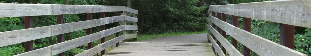
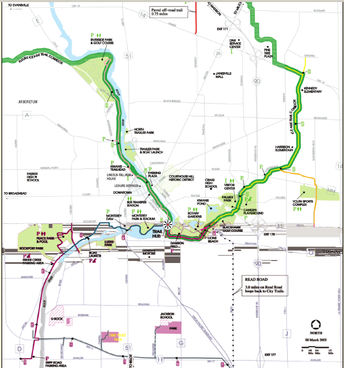
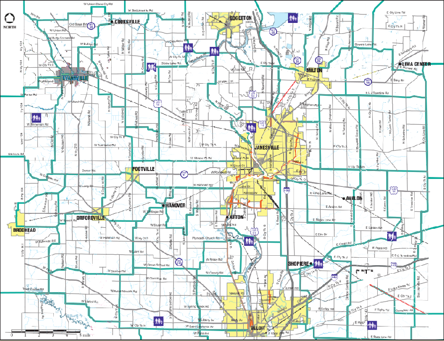
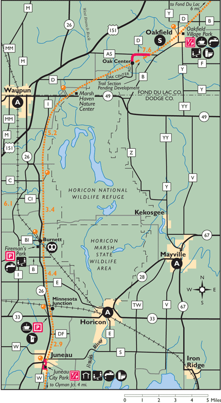
Rockford to Johnson Creek Here is a route, plotted on Google maps, between Rockford and Johnson Creek. It is mainly on back-country roads. At the southern end, in Rockford, a paved bicycle path follows Perryville Rd south of Rock Cut State Park. South of Ft Atkinson, the route follows the paved Glacial River Trail. A bicycle map of Jefferson county is available for purchase at BikeEverywhere. Note that the Wisconsin Department of Transportation has a number of projects underway or scheduled to reconstruct highway 26. In some cases these may affect the bike route. For a map of trails in Janesville, click here and for suggested bicycle routes in Rock county click here. Johnson Creek to Fond du Lac Here are routes between Johnson Creek and Fond du Lac, mapped by Mick Nelson. The first is on a series of pdf files. The second, prepared more recently uses Google maps. These are entirely on back roads. The Wild Goose Trail also runs between Clymer and Fond du Lac. It is surfaced with crushed limestone and generally in good shape for bicyclists. For a map of the middle section of the trail, click here and for the entire trail (pdf), click here. For a brochure and map of bicycling in the Horicon Marsh area click here (page 1 is the map and page 2 describes the communities and attractions). A bridge has been constructed to carry the Wild Goose Trail over highway 41 into Fond du Lac. Unfortunately there is still no connection to local streets or trails on the east side of the bridge.
|
|||